File:Building-Sage-Magdalenian Maps.png
From YPPedia
No higher resolution available.
Building-Sage-Magdalenian_Maps.png (316 × 368 pixels, file size: 243 KB, MIME type: image/png)
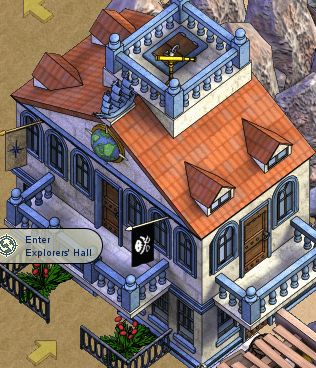
Magdalenian Maps, the Explorer's Hall on Arakoua Island on the Sage Ocean.

|
File history
Click on a date/time to view the file as it appeared at that time.
| Date/Time | Thumbnail | Dimensions | User | Comment | |
|---|---|---|---|---|---|
| current | 10:21, 19 May 2010 | | 316 × 368 (243 KB) | Reeses584 (talk | contribs) | Magdalenian Maps, the Explorer's Hall on Arakoua Island on the Sage Ocean. |
- You cannot overwrite this file.
File usage
The following page links to this file: